PlaceView
Watch our video on Youtube: PlaceView Video
Summary
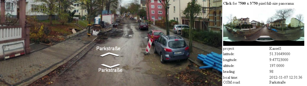
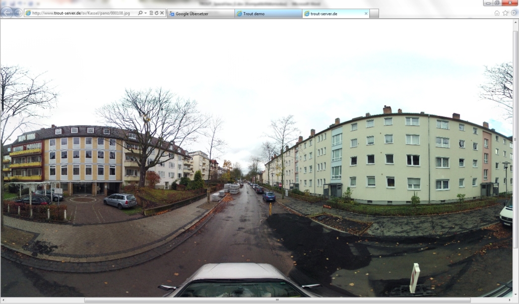
PlaceView is a service, which offers detailed and up-to-date information about sites in built-up or rural areas. The provided information can be accessed by any smart device or computer which is internet browser-enabled.
The information comprises panorama images with accurate location taken from Global Positioning System or Galileo and are correlated with digital maps such as Google Maps or Open Street Map. Additional Information and pictures about places and buildings may be added.
A quick overview is provided to the user with a single mouse click. From the overview map, which may be based on satellite view or on road maps, the user directly accesses all information about any location. Within the panoramic images, the viewer can twist and turn, select different zoom levels and smoothly navigate to the adjacent images.
PlaceView offers:
- High-resolution pictures at 7500 x 3750 pixel from six cameras every three seconds
- Horizontal Coverage 360° — Vertical coverage 160°
- A “backpack version” for difficult terrain, which is accessible only by foot
- Automatic mapping with GPS receiver
- Flexible post processing software to integrate additional information to geo-referenced images
PlaceView’s fields of application:
- Introduction of bicycle paths and walk ways
- Information for tourists – virtual park / sightseeing tours
- Information for police, ambulance and fire services
- Regular navigation support for urban transport
- Monitoring of road works
- Navigating in more than one level, which is important for use in buildings
- Additional data such as ads can be transmitted
- Links to related websites may be introduced
- Archiving of the appearance of a city/ sites

